Connecting Route Between the Kamp-Thaya-March Bike Route and the Manhartsberg Bike Path
Verbindungsweg Kamp-Thaya-March-Radroute und Manhartsberg Radweg
Cycling tour Starting from
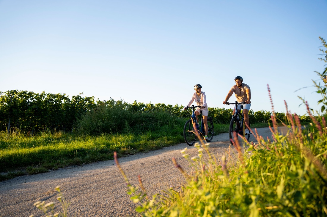
The connecting path between Zöbing and Straß links the Kamp-Thaya-March cycle route (KTM) with the Manhartsberg cycle path.
- Fitness level required:2/6
- Overall experience:6/6
- Scenery:6/6
- Technical difficulty:2/6
- Lowest point
- 211 m
- Highest point
- 224 m
The connecting path between Zöbing and Straß links the Kamp-Thaya-March cycle route (KTM) with the Manhartsberg cycle path.
The Waldviertel top cycle route Kamp-Thaya-March Cycle Route (KTM) and the Manhartsberg Cycle Route can be combined into a beautiful circular tour in the lower Kamp Valley ("Kamptal" in German). This short section connects the two cycle routes between Zöbing and Straß.
The combination of the two routes results in a 25 km circular tour. The Kamp-Thaya-March cycle route (KTM) leads in this section from Gobelsburg via Langenlois to Zöbing. The Manhartsberg cycle route leads through Straß, Engabrunn, Etsdorf, to Grafenegg Castle and via Hadersdorf to Gobelsburg, where the two cycle routes meet. The Kornplatz in Langenlois is a suitable starting and finishing point for the tour.
Both cycle routes and the connecting path are signposted in both directions.
Parking Lot P1 (Downtown) on Walterstraße or Parking Lot P2 (Downtown) on Kamptalstraße
From Vienna: Take the A22 Danube River Expressway toward Stockerau, continue on the S5 toward Krems until the Fels am Wagram exit, then take the B34 to Langenlois.
From the west: Take the Westautobahn A1 toward Vienna to St. Pölten, then continue on the S33 and B37 to Krems, and take the B218 to Langenlois.
Regular regional train service between Langenlois and Hadersdorf (connection to Vienna), Krems, and the Kamp Valley ("Kamp Valley" in German) (fahrplan.oebb.at).
Recommended period
J
F
M
A
M
J
J
A
S
O
N
D
Leider können wir Ihnen zum jetzigen Zeitpunkt keine Wetterdaten für den Ort anzeigen.